We remain fully operational. Our teams are working around the clock to ensure your deliveries continue safely.

DOWNLOAD THE APP


Customer Services
Copyright © 2025 Desertcart Holdings Limited
DOWNLOAD THE APP
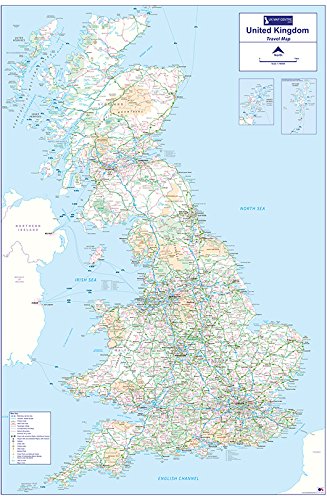
The Travel Map 1 shows the whole of the UK using Ordnance Survey 1:810,000 scale mapping and shows Road, Rail & Ferry communication links for the UK mainland and the islands, with insets for Orkney and Shetland. A useful key identifies the communication links symbols. The Travel Map 1 is printed on unlaminated paper and is posted flat in a reusable plastic poster tube.
Trustpilot
3 weeks ago
2 days ago
1 month ago
2 weeks ago