Desert Online General Trading LLC
Dubai, United Arab Emirates
Desert Online General Trading LLC
Dubai, United Arab Emirates


🗺️ Own the map, own the market!
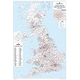
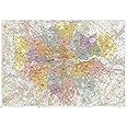
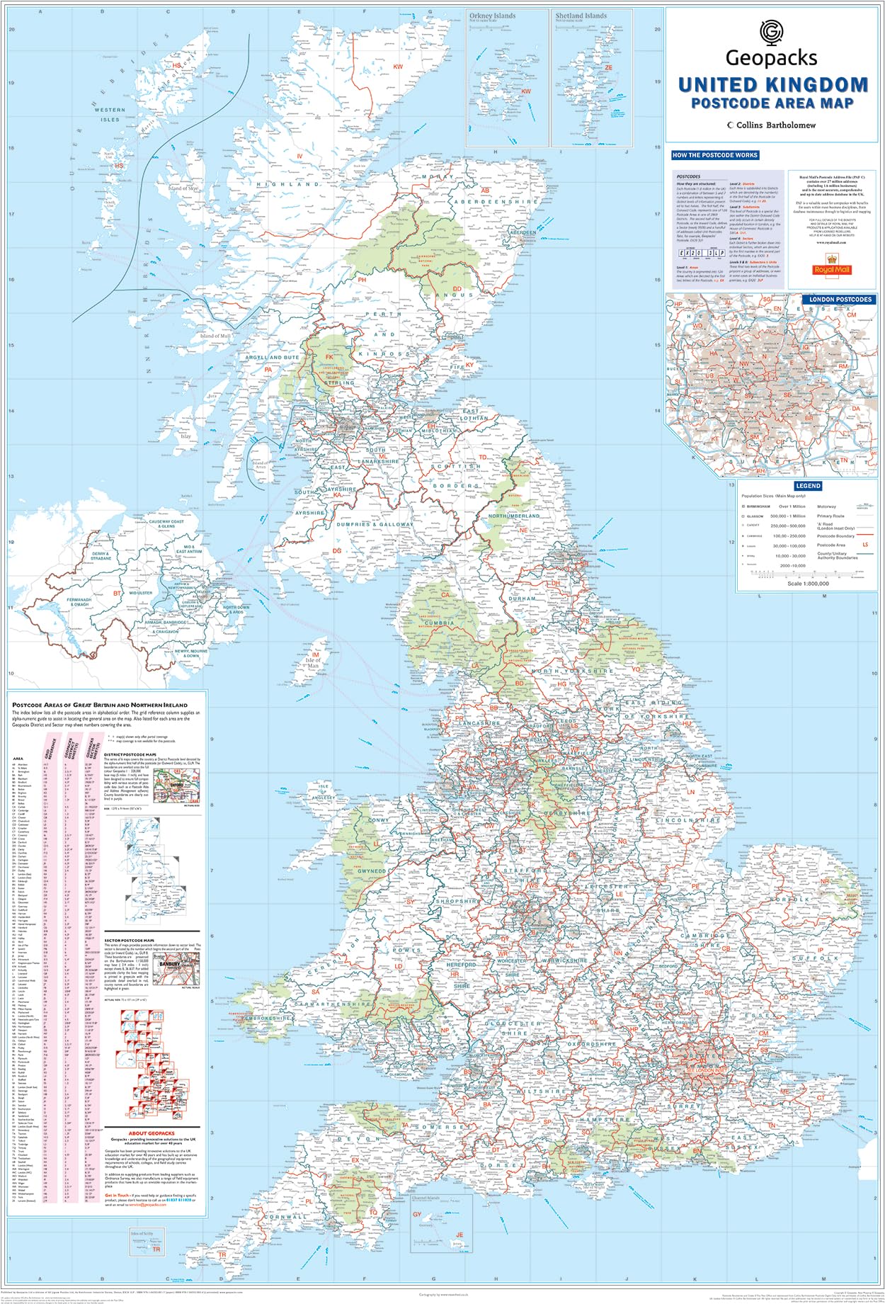
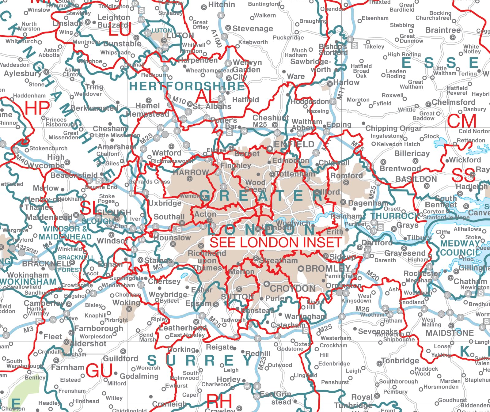
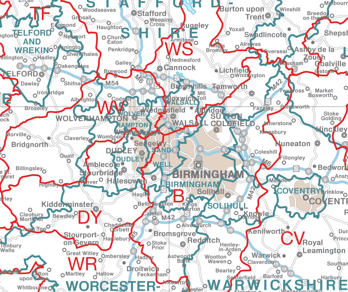
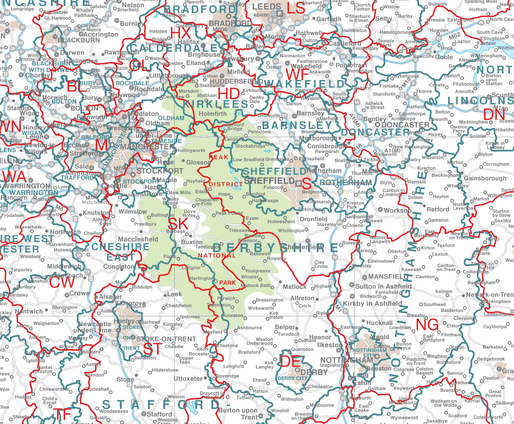
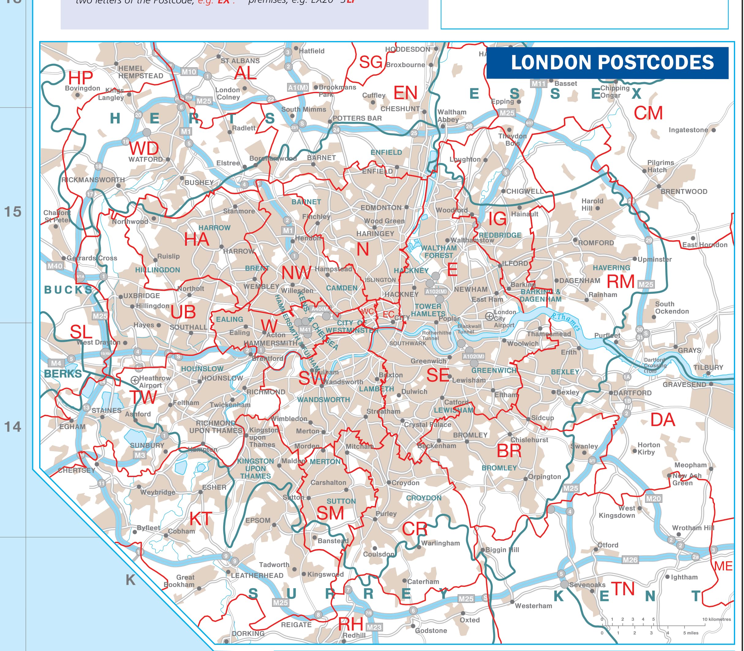
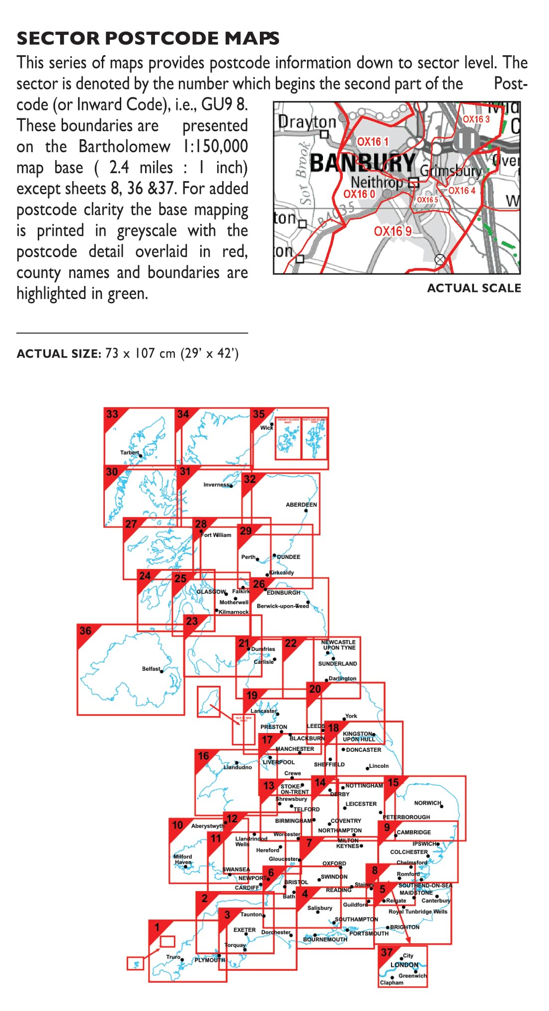
This laminated UK Postcode Wall Map measures a commanding 120cm by 83cm, featuring every postcode across the UK including Northern Ireland, Scotland, and Wales. It highlights up-to-date county, district, and unitary authority boundaries alongside major roads and cities. Designed for professional environments, its durable, writable, and wipeable finish makes it ideal for business planning and dynamic use, ensuring you stay ahead with the latest geographic data.


| Manufacturer | Map Marketing |
| Brand | Map Marketing |
| Product Dimensions | 83 x 0.2 x 120 cm; 250 g |
| Colour | Laminated |
| Sheet Size | 120cm x 83cm |
| Paper Finish | Glossy |
| Manufacturer Part Number | BIPA-18 |
| Item Weight | 250 g |
ترست بايلوت
منذ يوم واحد
منذ أسبوعين