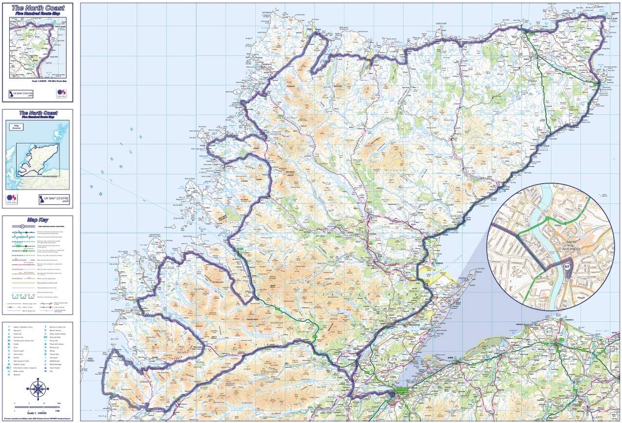
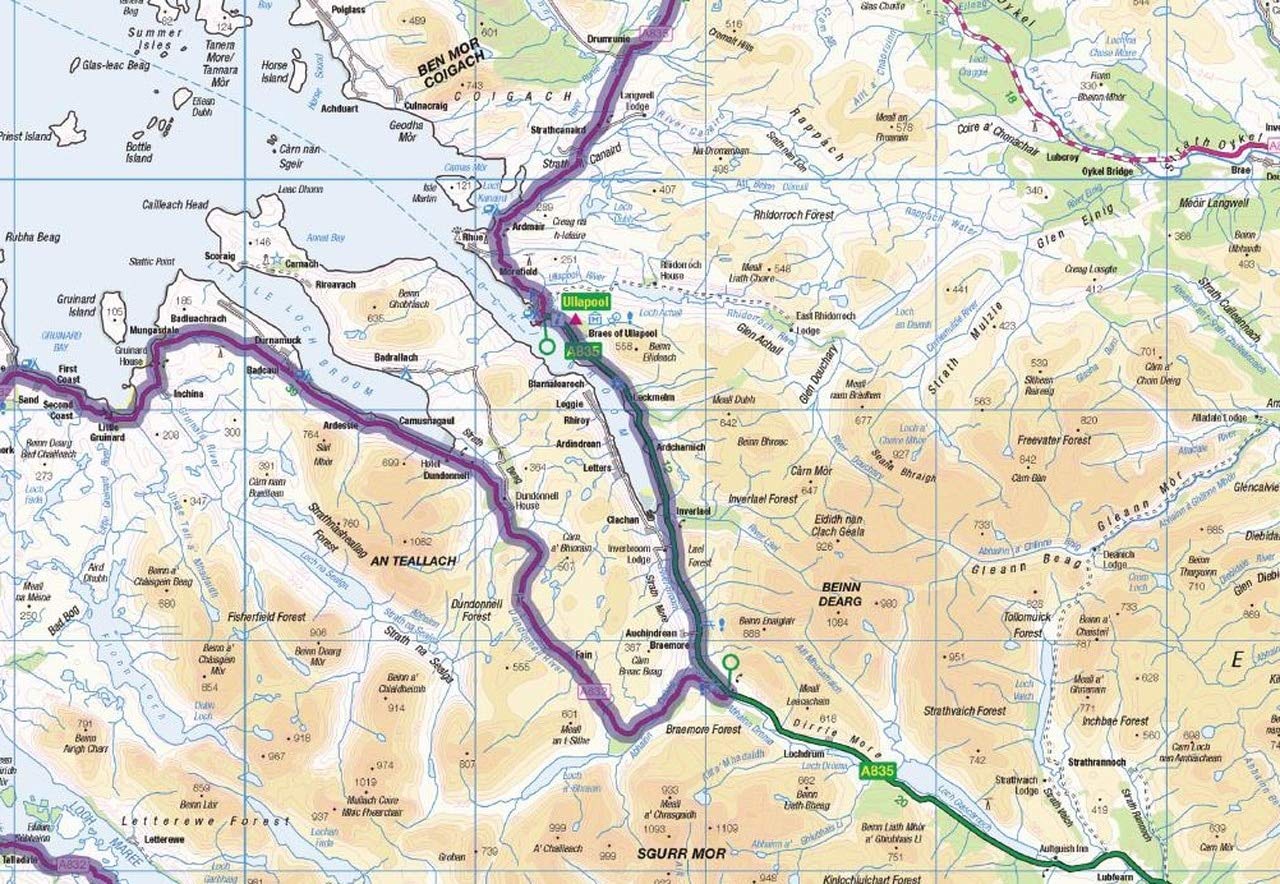
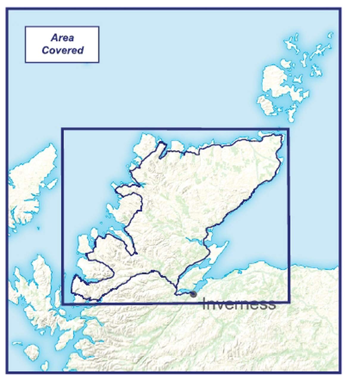
The North Coast 500 Map has been created for those interpid adventurers undertaking the 500 mile round trip from Inverness, through the Black Isle all around the North Coast of Scotland, down the uniquley scenic West Coast of Sutherland and Wester Ross before finally returning cross-country to Inverness. We've produced the NC500 Map at 1:250,000 scale using Ordnance Survey's Road Mapping data to provide a clear and accurate map, the NC500 route has been highlighted, but the rest of the map is clear enough to enable you to make diversions and day trips off the route too. The map is an oversized A1 sheet measuring 880mm x 600mm and can be supplied folded - making this edition idea for taking with you on adventure. We can also supply flat versions in a heavier weight paper or laminated for display on your wall, whether thats at work or at home after a successful completion!
A**R
Disappointed
Didn’t expect a big thick blue line which obscured anything written underneath. Writing very small and blurry. Very difficult to read.Disappointed
C**E
scotland
Looking forward to being able to use this after lockdown to tour scotland in our motorhome
M**N
Good
Good buy
P**N
Expensive
Get the genuine nc500 map, this map has no detail about what to see or any other information
Y**E
It is large but easy to roll
Great map ..easy to read...perfect for planning 500 coastal trip
S**L
Five Stars
Lovely map
K**N
Five Stars
exactly as expected good quality map
Trustpilot
2 months ago
3 weeks ago
