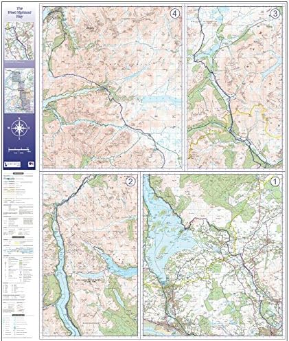
West Highland Way Route Map - Flat - Double Side Laminated
Description
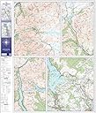
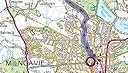
- West Highland Way Route marked in blue
- 1:50,000 scale OS map data
- Route divided into 4 sections, fits on one side of map
- Map Size: Flat 920mm x 1040mm
- ›See more product details
Material Type:Flat - Double Side Laminated The West Highland Way map from the UK Map Centre is the ideal choice for those looking to undertake Scotlands classic long-distance walking route. Created using 1:50,000 scale Ordnance Survey mapping data, this map shows the route, split into 4 sections - so that the whole 96 mile route fits on to one side of a standard walking map sheet. Additionally, the map shows the land around the route, providing context for walkers on the path and is also useful when planning to check for other tourist sites along the route. This version is printed on our Standard Matt 90gsm Paper and is laminated front and back with a dry wipe marker compatible gloss laminate. This map is supplied flat in a tough reusable plastic poster tube.
Common Questions
Trustpilot