معلومات عنا
دعم العملاء
احصل على التطبيق

قم بتوجيه الكاميرا لتنزيل التطبيق
حقوق الطبع والنشر © 2024 Desertcart Holdings Limited
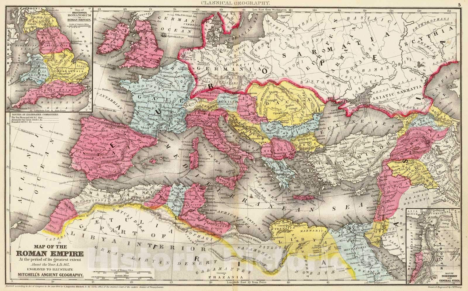
Historic PictoricMap : Rome, Eastern Hemisphere Map of the Roman Empire at the period of its greatest extent about the year A.D. 107, 1875 Classical Atlas, Antique Vintage Reproduction : 44in x 28in
ترست بايلوت
منذ يوم واحد
منذ 3 أيام